Services and sectors
Thanks to the versatility of our developments, we realize Geospatial services in any part of the world and in the three media: marine, terrestrial and aerial. There are endless applications depending on the needs of each sector or customer, among which we can highlight:
FARMING

Growth of tree plantations, detection of diseases through multilateral cameras, IR, RGB, thermal, biomass cubing, forest inventories.
INSPECTION
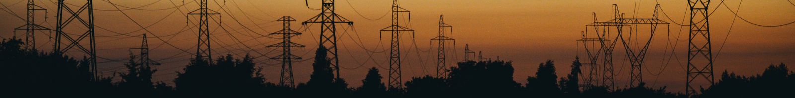
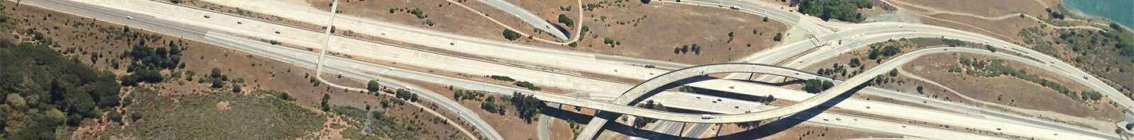
Certification of navigable zones in reservoirs, rivers, ports, canals, settlement in reservoirs to verify the cubic meters of reservoir water, which is a factor of great importance to know the capacity to generate in hydroelectric. Inspection of power lines, railways, roads, etc. Aerolaser system of sensors (AeSystem) adapts to any type of inspection. Possibility of integrating it in unmanned vehicles, marine, terrestrial or aerial.
CADASTRE AND CARTOGRAPHY
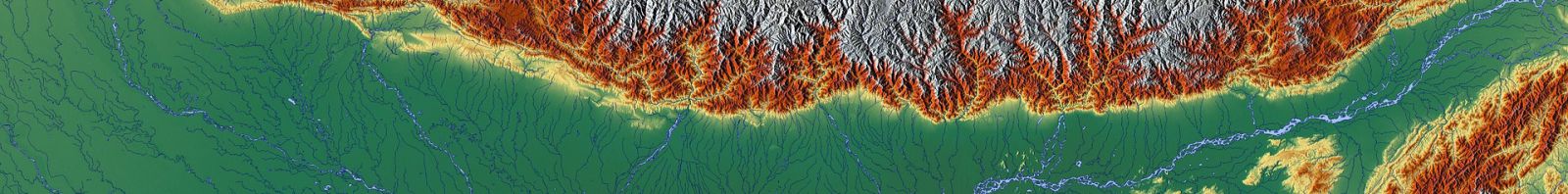
Large-scale mapping of countries or large regions, small-scale mapping of local areas. Cartography and data for Cadastre. Orthophotos or LiDAR data on large surfaces, example PNOA (National Plan of Aerial Orthophotography).
OIL AND GAS
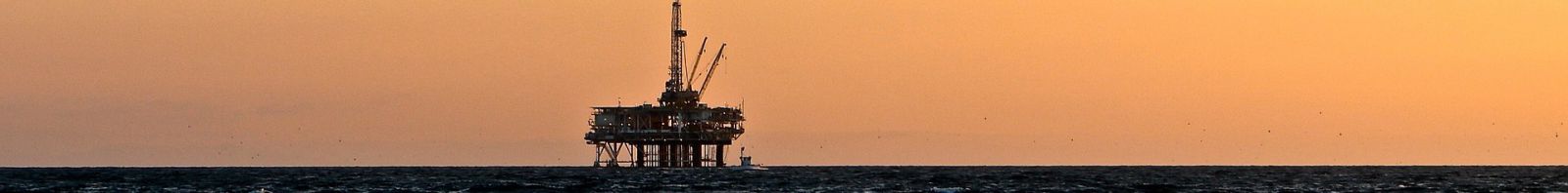
Cartography for oil and gas corridors. Slip analysis of pipelines, gas pipelines, camera integration to detect the leakage of carbides.
ENVIRONMENT

Dune monitoring, certification of large areas affected by forest fires, thermal maps, zenith and oblique cities, land and air maps, slope landslides, pest control by cameras of different visible spectra, analysis of CO2 emissions by analyzing the signal from the laser.
ENGINEERING
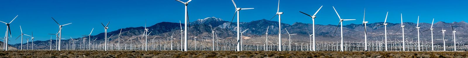
Massive geospatial data collection for the drafting of projects and preparation of offers. Decreasing deadlines and increasing competitiveness, obtaining 100% of the geospatial information of the project allowing to reduce the costs of execution of work, a clear example is the distribution of poles in electric lines. Projects executed for roads, wind farms, hydroelectric, pipelines, railways, power lines, tourist complexes, etc.
CONSTRUCTION
Follow-up of linear works, earth movement, sliding of slopes, horizontal and vertical signaling, etc.
In maritime works: certification of dredging, draft of ports and breakwater movements.
Obtaining final models of work, as built, in electrical lines we obtain 100% of the information of the installation, safety distances, logging, catenary of all the conductors, CT and fiber.
AERONAUTICS

Cones of approach to airports, cartography for airworthiness charts.
MINING
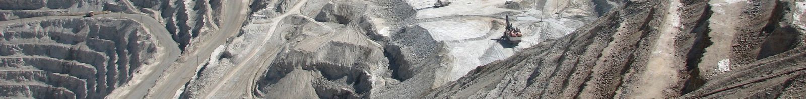
Rapid and accurate cubications of open pit mines, quarry fronts, aerial work or mobile mapping.
MILLITARY APPLICATIONS

Now a days the great potential of AEROLASER is its inertial system and its controller, these systems have great military applications in navigation. In addition, mention should be made of the Flash-Ladar R+D+I project in which AEROLASER is working on, that could have different military applications. We can reduce the size of our electronics allowing the incorporation of our systems in UAV.
UAV

AEROLASER has the technology and the ability to develop a UAV system, both for air, land and marine, in order to be able to develop part of the activities described above, reducing operational expenses and occupational hazards. This development let us access inaccessible areas.
HERITAGE AND ARCHEOLOGY

Documentation using LiDAR, images of archaeological places, Laser 3D cultural heritage, virtual scenarios.
INDUSTRY

3D laser in industrial plants of all types, factories, nuclear power plants, refineries, purification plants, thermal power plants, metallic structures, electrical line poles, this kind of work is very comun, the tower metrics are inspected and their deformations are evaluated.
EDIFICATION

3D laser for buildings under construction, need to comply with accurate reframing, documentation of buildings, as built, restoration of facades, deformation of walls.
INVENTORIES, GIS (GEOGRAPHICAL INFORMATION SYSTEMS)

From the geospatial data obtained we can inventory installations, power lines, roads, railway lines, forest areas or any type of installation with elements that want to be inventoried.