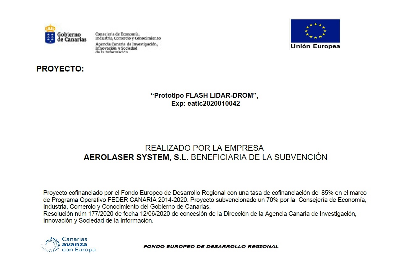
Beneficiarios de la subvención Eatic 2020

The Flash-LIDAR project aims to develop the necessary technology to obtain, in a few hours, a high resolution topographic map of a given terrain, that is, to know the height with respect to sea level at each point of the terrain, called Digital Terrain Model (DTM).
Project co-financed by the European Regional Development Fund with a co-financing rate of 85% within the framework of the FEDER CANARIA Operational Program 2014-2020. It is a project subsidized at 70% by the Ministry of Economy, Industry, Commerce and Knowledge of the Government of the Canary Islands, according to Resolution No. 177/2020 dated 06/12/2020, granted by the Directorate of the Canary Research Agency, Innovation and the Information Society.